From Deed
to Map in Seconds
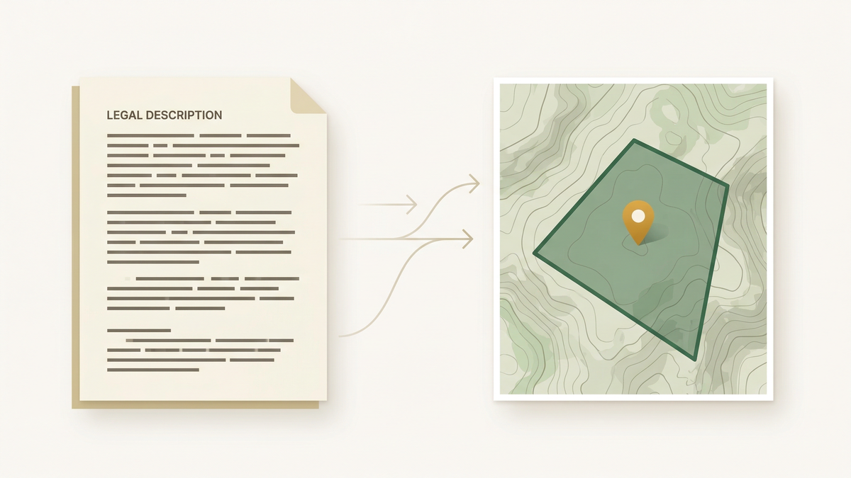
Paste a legal description or upload a scanned deed. Our AI parses PLSS, metes & bounds, and lot/block descriptions into precise map geometry you can export anywhere.
$3 first parcel + $1 each additional. Only charged for parcels that map successfully.
How It Works
Three simple steps from legal text to map polygon.
Upload or Paste
Paste your legal description as text or upload a scanned deed image. We handle PLSS, metes & bounds, and lot/block formats.
AI Parses It
Our vision LLM reads and interprets complex legal language. BLM/PLSS cadastral data provides section-level precision for township-range lookups.
Get Your Map
View your property polygon on an interactive map. Export as KML, GeoJSON, or Shapefile for any GIS platform.
Built for Land Professionals
Every feature designed for surveyors, title companies, and anyone working with legal property descriptions.
AI-Powered OCR
Upload scanned deed images. Our vision LLM reads and extracts legal descriptions from even low-quality scans.
PLSS Integration
Direct BLM cadastral data integration for section, township, and range lookups. Precise to the quarter-quarter section.
Metes & Bounds
Full traverse calculations with bearings and distances. Click to set your Point of Beginning on the map.
Multiple Export Formats
Download as KML, GeoJSON, or Shapefile. Compatible with Google Earth, QGIS, ArcGIS, and any other GIS platform.
Click-to-Set POB
Interactively place the Point of Beginning on the map. Adjust and refine your traverse starting location visually.
Pay Per Parcel
No subscriptions or commitments. $3 first parcel, $1 each additional. Only charged for parcels that successfully map.
$1 each additional parcel. Upload a multi-page deed or paste a legal description. You only pay for parcels that successfully map — no charge for failures.
- No subscription or monthly fees
- Only charged for successful parcels
- All export formats included (KML, GeoJSON)
- PLSS + metes & bounds support
Your card is authorized for the estimated amount, but only captured for parcels that map successfully. Failed parcels are not charged.
Get in Touch
Questions, feedback, or need help with a refund? We'll get back to you within a business day.
From the makers of
Farmapper
tater.farm is built by the team behind Farmapper — mapping tools built for agriculture. Parsed parcels can integrate directly with your existing Farmapper projects.
Visit Farmapper →